Sa Ngo Royal Project Development Center
History
In 1978, when His Majesty King Bhumibol Adulyadej The Great paid a visit to Doi Sa Ngo village, he requested for collaboration from many organizations to help the villagers. A year later, with the collaboration of between the Royal Project Foundation and Mae Jo University, Sa Ngo Royal Project Development Center was officially established in the form of hill tribe development volunteering.
Terrain
The area features rolling hills with a 12% incline mixed with plains, covering 23,750 rai or 9,387 acres.
Altitude
300 - 700 เมตร meters above sea level
Average Temperature
28 degree Celsius
Population
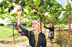
There are more than 3,304 Akha, Tai Lue and lowland people living in 4 villages and 2 communities.
Operation
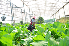
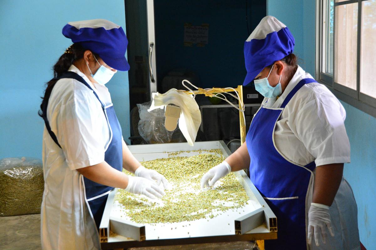
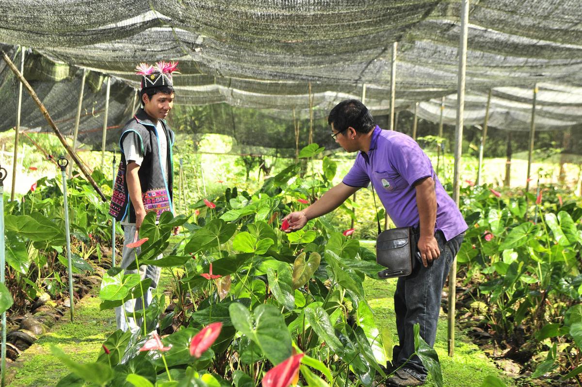
Sa Ngo Royal Project Development Center these days aims to support the farmers for crop production under Food Safety Standard such as Good Agricultural Practices (GAP). It also promotes herb plantation for dried herbal products in order to generate better income and improve quality of life of the farmers. Moreover, the supports are provided for community strength and self-sufficiency, reforestation project called “Three Forests, Four Benefits”; and soil recovery with organic fertilizer, green manure and bio-fertilizer. The center is now becoming a learning center on highland agriculture for students, farmers and other interested people.
Main Products
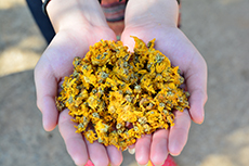
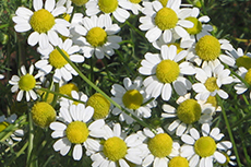
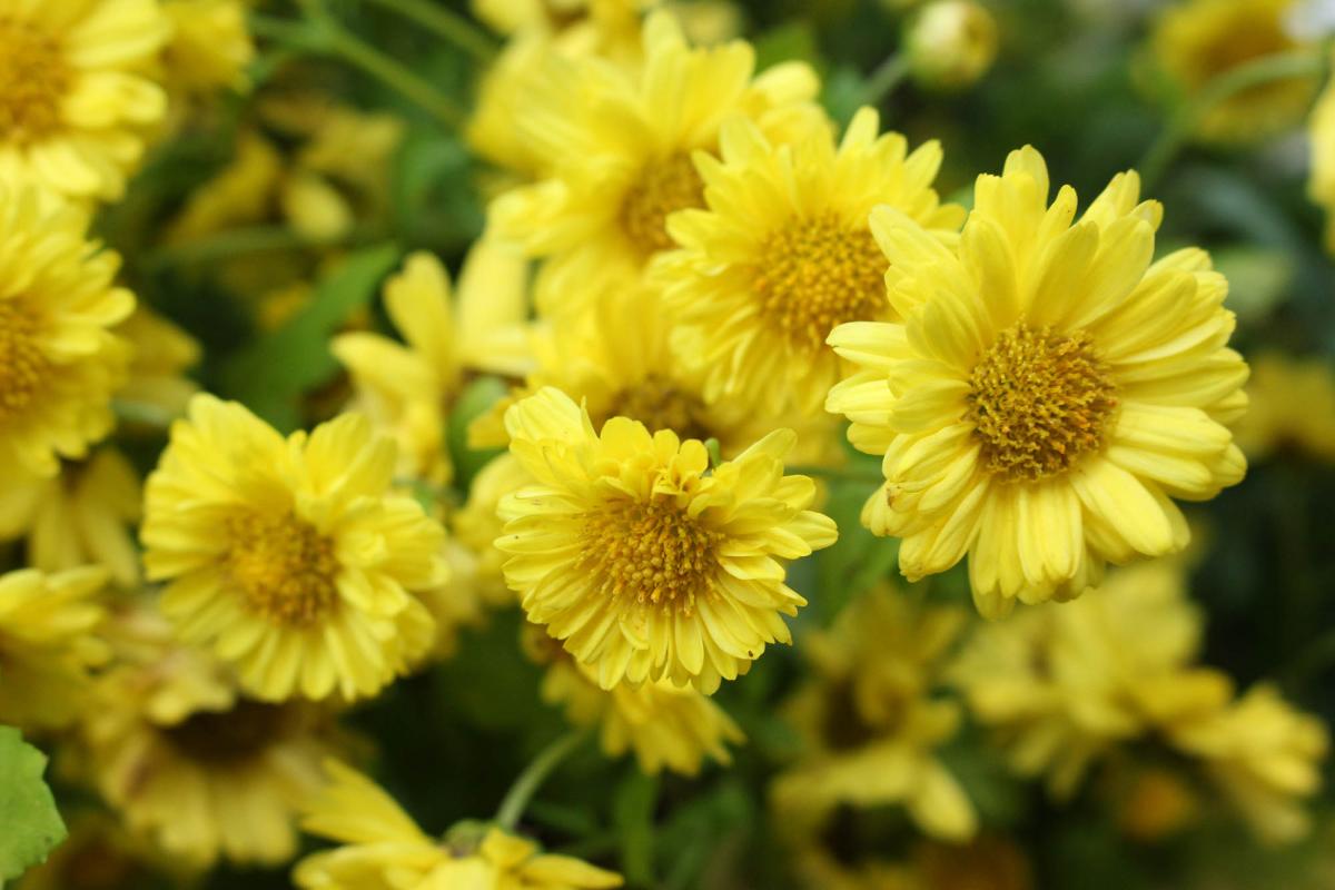
Chrysanthemum and Chamomile.
Location
272 Moo 7 Sri Don Moon Sub-district, Chiang Saen District, Chiang Rai 57150 (Tel : 06 1249 5791)
sango@royalproject.org
ดาวน์โหลด
ดาวนโหลดข้อมูล (pdf) :
Sa Ngo Royal Project Development Center Data.
How to get there