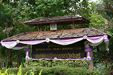
Wat Chan Royal Project Development Center
History
In 1979, His Majesty King Bhumibol Adulyadej The Great visited hill tribes in Wat Chan area and learned about their problems. The farmers were growing upland rice by shifting cultivation and the area had poor transportation infrastructure. His Majesty King Rama IX graciously initiated the development of Baan Wat Chan and other villages around the area by replacing shifting cultivation with temperate crops and improve community basic infrastructure.
Terrain
There are not many plains in the area. It is also generally coniferous forest, the origin of Mae Jam River, covering 151,833 rai or 60,013 acres.
Altitude
900 - 1,200 เมตร meters above sea level
Average Temperature
18 degree Celsius
Population
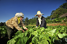
There are 3,851 households of Karen, Hmong, and Lisu living in 18 villages and 11 communities.
Operation
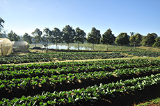
At present, Wat Chan Royal Project Development Center has set up and developed field demonstration plots for several crops including vegetables, fruits, coffee, animal farming and dried flower production under Food Safety Standards like Good Agricultural Practices (GAP) to generate their sustainable income and improve their lives. Furthermore, the community engagement to strengthen individual and community, reforestation project called “Three Forests, Four Benefits”, soil and water conservation by vetiver grass growing, chemical use reduction campaign, and environmental contamination monitoring campaign are supported by the center. The center has become a highland agricultural learning center for students, farmers and other interested people.
Main Products
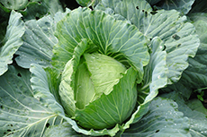
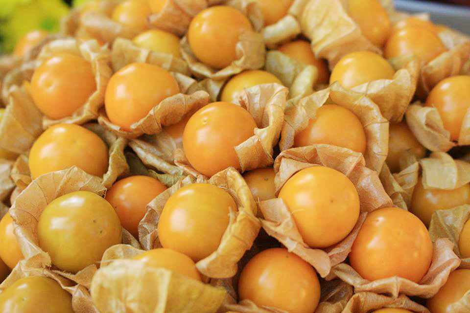
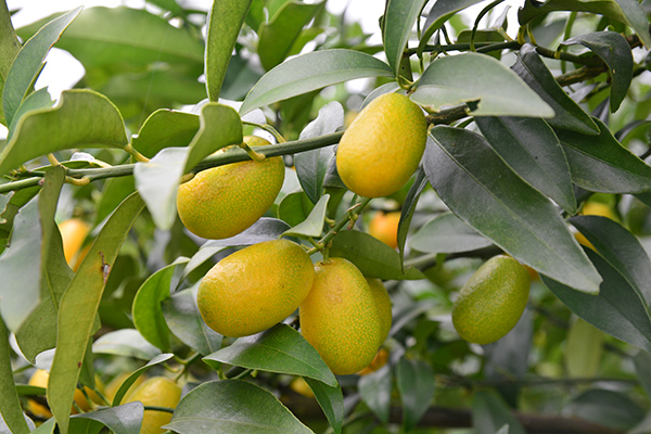
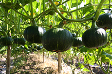
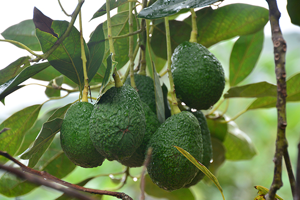
Japanese pumpkin, mini Japanese pumpkin, cabbage, Chinese cabbage, pointed cabbage, avocado, pear, passion fruit, mango, cape gooseberry, and Japanese apricot.
Location
Moo 7 Ban Chan Sub-district, Galyani Vadhana District, Chiang Mai 58130 (Tel : 08 4388 1884)
watchan@royalproject.org
ดาวน์โหลด
ดาวนโหลดข้อมูล (pdf) :
Wat Chan Royal Project Development Center Data.
How to get there